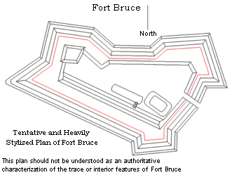
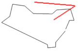
North (Hopkinsville Road) Front |
|
|
|
 |
Image |
Image Number |
Image Orientation |
 |
1 |
 |
 |
2 |
 |
 |
3 |
 |
 |
4 |
 |
 |
5 |
 |
 |
6 |
 |
East (Gorge/Red River) Front |
|
|
|
 |
 |
7 |
 |
 |
8 |
 |
 |
9 |
 |
 |
10 |
 |
 |
11 |
 |
 |
12 |
 |
 |
13 |
 |
 |
14 |
 |
 |
15 |
 |
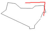
South (Cumberland River) Front |
 |
16 |
 |
 |
17 |
 |
 |
18 |
 |
 |
19 |
 |
 |
20 |
 |
 |
21 |
 |
Interior Features |
 |
Main Magazine. Panel Composite Image. |
 |
22 |
 |
Main magazine entrance gallery. |
 |
23 |
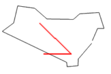 |
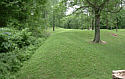
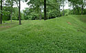
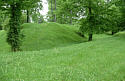
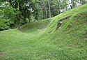
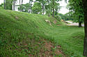
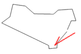
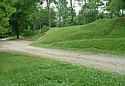
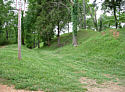
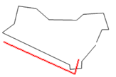
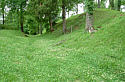
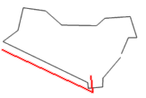
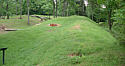
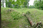
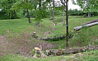
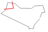
Depression along interior of south front rampart. Identified by markers
as a |
"Covered Way" and "Outer Communications Trench." |
 |
24 |
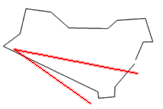
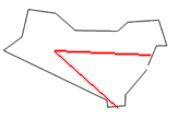 |
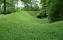
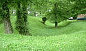
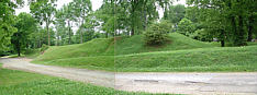
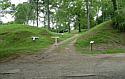
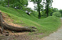
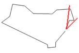
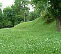
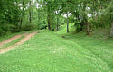
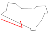
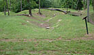
Depression parallel to "covered way." Identified by marker as
"Inner |
Communications Trench." |
 |
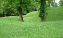
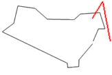
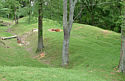
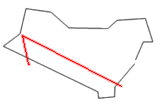
25 |
 |
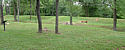
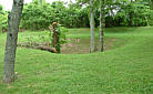
Ovate depression interior of northwest demi-bastion.
Unidentified. |
|
|
|
|
|
|
|
|
|
|
|
|